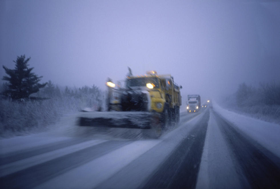
5-Day Forecast: 6 – 12″ of Snow Sunday & Monday, Aroostook County, Maine
Five-Day Forecast for Presque Isle and surrounding area. Get the hourly forecast and updates.


A detailed look at the forecast from the U.S. National Weather Service in Caribou, Maine:
- Winter Storm Warning in effect from February 24, 10:00 AM EST until February 25, 07:00 AM EST
- Today: Partly sunny, with a high near 27. Light west wind increasing to 5 to 10 mph in the afternoon.
- Tonight: Mostly cloudy, with a low around 8. Southwest wind around 5 mph becoming calm in the evening.
- Sunday: Snow, mainly after 9am. High near 27. Light southeast wind increasing to 12 to 17 mph in the morning. Winds could gust as high as 28 mph. Chance of precipitation is 100%. New snow accumulation of 3 to 5 inches and more possible. More snow Sunday night.
- Sunday Night: New snow accumulation of 4 to 8 inches possible. Snow before 4am, then snow showers after 4am. Low around 22. Southeast wind 7 to 16 mph becoming north after midnight. Winds could gust as high as 26 mph. Chance of precipitation is 100%.
- Monday: New snow accumulation of 1 to 2 inches possible. Snow showers likely, mainly before 2pm. Areas of blowing snow after 10am. Cloudy, with a high near 31. West wind 7 to 12 mph increasing to 13 to 18 mph in the afternoon. Winds could gust as high as 34 mph. Chance of precipitation is 60%.
- Monday Night: Areas of blowing snow. Mostly cloudy, with a low around -1. Northwest wind around 17 mph, with gusts as high as 33 mph.
- Tuesday: Areas of blowing snow. Mostly cloudy and cold, with a high near 10. Blustery, with a northwest wind 16 to 20 mph, with gusts as high as 36 mph.
- Tuesday Night: Patchy blowing snow before 1am. Mostly cloudy, with a low around -8.
- Wednesday: Partly sunny, with a high near 11.
- Wednesday Night: Mostly cloudy, with a low around -5.
The U.S. National Weather Service, Caribou, Maine described the storm:
Snow spreads into the area mid-late morning on Sunday and continues throughout the day. The highest snowfall totals will be across the north ranging from 6-12 inches. Locations near Bangor and interior Downeast may mix with or change to rain late in the afternoon into the evening hours.
Snowfall rates will approach 1 in/hour across the north in the afternoon and evening on Sunday, leading to hazardous travel. West winds will kick up on Monday with gusts as high as 40 MPH leading to significant blowing and drifting snow and whiteout conditions.
For the latest forecast details, please visit www.weather.gov/car.
The interactive radar has more regional weather. Our app gives you weather alerts & keeps you updated. Free app download.
We have more northern Maine weather info from the U.S. National Weather Service in Caribou.
Stream the station online for the weather. Use the app & listen on the radio.
For cancellations, delays, early dismissals & closings, send your info to newspi@townsquaremedia.com
More From