Travel Through Time in Maine With These Google Street View Photos
It's surprising how much things in Maine change over a short period of time. I've always dreamed of having a time machine, preferably a Delorean that I have to get up to 88 miles per hour to go wherever in time I choose. That, like a Back to the Future IV, is never going to happen in my lifetime, but Google's Street View does a pretty good job as its own little time machine.
Google started sending out cars fitted with cameras that can stitch together 360-degree photos of streets all over the world in 2007. They arrived in Portland rather quickly to start taking pictures and then quickly spread to the rest of the state, even documenting streets in many of Maine's rural towns.
Not only will Google Streetview show you what a street looks like today, it archives all the photos it takes, so you can virtually travel back in time to see how much things have changed.
Rural areas don't get updates nearly as often as Maine's larger cities and towns, but I did some digging and found interesting Street Views that span a time of about 10 years in Portland, Bangor, and the Oxford Hills.
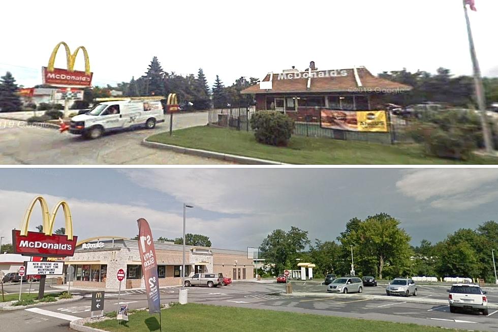
Here are five locations in Maine that show what the area looks like currently, and what it looked like the very first time the Google Street View car came through to capture it.
Travel Back in Time in Maine With Google Streetview
Gallery Credit: Jeff Parsons
More From


