Check Out This Satellite Footage of Maine During the Eclipse
Even if you may be experiencing 'eclipse fatigue,' you have got to check out this absolutely incredible footage.

Truly, this really puts into perspective what we experienced in Maine on April 8th during the total solar eclipse.
The 'Great American Eclipse' on April 8th, 2024 had folks from all around the Pine Tree State flocking towards the 'path of totality,' a term used to describe the narrow strip of land where a total solar eclipse can be seen.
Being in the path of totality means you're in the best spot to witness the moon completely covering the sun, leading to a brief period of darkness known as totality.
Just in case you’ve been living under a rock, Maine was in the path of totality for the most recent solar eclipse, drawing people from all over to experience this rare and awe-inspiring phenomenon firsthand.
We’ve all seen footage, pictures, and accounts from the eclipse, but what about the point-of-view from space?
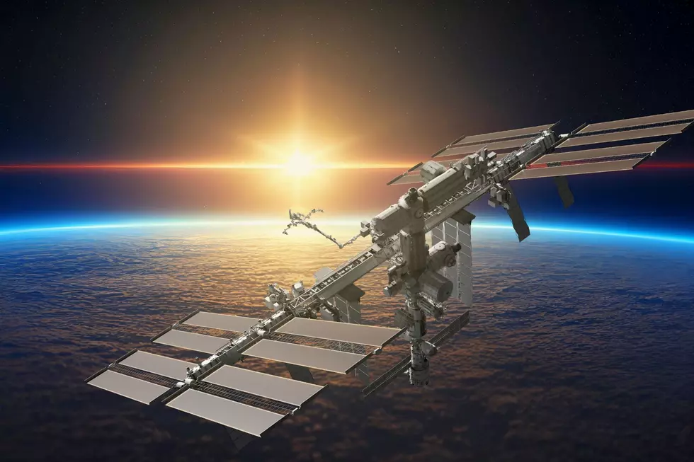
As explained by the science news website Live Science, Satellite images and photos from the International Space Station (ISS) captured the moon's shadow moving across North America during the total solar eclipse. The shadow raced across the continent and of course, our Pine Tree State, at over 1,500 mph.
Additionally, the National Oceanic and Atmospheric Administration's (NOAA) GOES-16 satellite took thousands of photos of the eclipse, showing the moon's shadow sweeping across the continent when stitched together.
Astronauts on the ISS witnessed the eclipse from their unique viewpoint, with NASA having maneuvered the ISS for months to pass through the eclipse safely.
Solar Eclipse 2024
Gallery Credit: Randy Kirby
The Top 9 Most Walkable Cities in Maine
Gallery Credit: Jordan Verge
Mainers Should NEVER Put These 11 Items on Top of the Fridge
8 Things You Should Know When Going through a Toll Booth in Maine
Gallery Credit: Jordan Verge
More From


